
If you’ve read more than a handful of fantasy books, you can easily deduce that fantasy authors love maps. We assume that fantasy readers love maps too, which is why we keep putting maps in our books. I think it’s a safe assumption but, if it isn’t, fantasy maps are here to stay anyway; of the top 25 fantasy books, almost half have maps. (Truth be told, I’d expected more!) But, if you’re not a professional cartographer, drawing an entire world can be daunting. So I’ve put together some hints, tips, ideas and tools that will help the fantasy author, Dungeon Master, or anyone else to draw their own fantasy maps.
You’re writing fantasy, which means your world likely contains things that our would does not. Whether it’s dragons, magic, or unusual landscapes where the laws of nature don’t seem to apply.
But, for readers to believe in the fantastical elements of your world, you need to get the other fundamentals right. That’s because you’re asking the reader to believe in something they know isn’t real. And readers are pretty obliging in that sense. They’ll believe in dragons, they’ll believe in magic, they’ll believe in a canyon where gravity is screwy and mountains float on by, but ONLY if you don’t ask them to believe in too much. Once you ask for too much, the entire illusion is broken.
So, with that in mind, make sure you get your geography right. Here are some common fantasy map mistakes that can rip your reader out of the world:
And here’s what you can do to make sure you don’t make the same mistakes on your map:
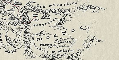
Mountains are formed by tectonic plates colliding with each other. That means that mountains tend to exist in long lines (take a look at the mountain ranges on Earth). Mountain ranges aren’t going to turn corners because tectonic plates aren’t rectangular. Even where they do have corners, they are a) enormous and b) irregular. Any mountains along the edge of a plate are going to draw a gentle curve across your map.
Don’t forget that there’s land under water, so mountain ranges would continue past a coastline to create islands.
For this reason, mountains don’t tend be lonely (sorry, Tolkien). Volcanoes can be lonely only because they’ve put in the work over time; erupted material settles around the volcano over time, allowing it to grow.
Rivers have one goal: get to the lowest point possible, by the easiest route possible. The lowest point is often sea level, and the easiest route possible is always down. So rivers tend to race away from mountains and end up in the ocean.
This is also why rivers start in high places (mountains and hills).
Of course, rivers don’t flow in straight lines to the oceans. That’s because they follow the path of least resistance. They’ll tumble and meander around hills, rises, through canyons and crevasses. If the river enters and area with high terrain on all sides, it might form a lake. land gets flat and open with high terrain on all sides, they might form lakes. Rivers can go underground too; whatever gets them down faster.
Rivers also like to get sociable; they join together where possible and very rarely split. In fact, think of rivers like tree branches, when the trunk is an ocean and the twigs are the starting points of your rivers.
Lakes are areas of land with high terrain on all sides, and are generally fed by rivers or rainfall. The water will usually find an escape route and form a new river to join the ocean.
Just like rivers, lakes can flood with torrential rain and dry out during droughts.
Natural borders are barriers that are hard (but not impossible) to cross. These tend to be places of high altitude (mountains), low altitude (canyons), and inhospitable geography (deserts, oceans, etc.). It’s possible to traverse all of these things, but it’s difficult. Even rivers can be a pain; unless they’re very shallow, you’ll need a bridge, which acts both as a bottleneck that doesn’t just slow you down but is also easy to defend.
Armies march as far as they can, then everyone packs up and goes home.
That’s why political borders (i.e. the borders between kingdoms/states/realms/etc.) tend to coincide with natural ones. Armies march as far as they can until they reach something that’s hard to cross. A determined leader might make the effort but, at some point, the army can’t find an easy way to traverse the barrier, and and everyone packs up and goes home.
But where a border is established by peacemakers instead of warmakers, your borders will look a little different. Most statesmen won’t think about natural borders; they’ll carve up the land in straight lines that are easy to draw. A lot of the problems we have in the modern world have their root in the straight lines drawn through cultures and people by a bunch of people stood around a map. It’s awful in the real world. But it could create some interesting strife in your fantasy world. Something to think about.
People like convenience. So they’re not going to put down roots somewhere that makes their lives difficult. If you’re about to put a city onto your map, think about why it’s there. Is it near a water source? People need water, and they won’t want to travel far to get it (because that’s inconvenient). Unless, of course, there’s another reason to build there. Perhaps there’s a natural resource nearby? People won’t want to slog miles to get to a mine, so there’s a reason to build a town around the mine and send someone to fetch water for everyone.
Don’t forget about trade. Points where roads intersect are perfect places to host beds for weary travellers, as well as introducing traders travelling the different roads.
Settlers will also think about defence unless your world is particularly peaceful. Rivers aren’t just a handy water source, but they’re difficult for armies to traverse, so a town might nestle itself into a bend in a river, or with mountains at its back.
Having spent some time writing about all the technical aspects of how to draw a fantasy map, I’ll now tell you not to worry about them. Not at first, anyway.
Drawing a fantasy map is an act of creation. Some people wonder whether world-building or plot comes first; the truth is that you’ll probably get the best results if you let both grow together.
So let all those facts about geography sit at the back of your mind and let your pencil go where it will. You can fix any geographical mistakes later on.
Because it might turn out that they’re not mistakes. In his book How to Write Fantasy and Science Fiction, Orson Scott Card relates how, in the process of drawing a city map, he accidentally blocked off a gate.
“Except that I believe, when it comes to storytelling – and making up maps of imaginary lands is a kind of storytelling – that mistakes are often the beginning of the best ideas. After all, a mistake wasn’t planned. It isn’t likely to be a cliche. All you have to do is think of a reason why the mistake isn’t a mistake at all, and you might have something fresh and wonderful, something to stimulate a story you never thought of quite that way before. So I thought – what if this gate has been permanently closed off?”
Card goes on to relate how he decides the gate was actually a magical entrance to the city that was closed off, and how this then mistake leads him to create a mythology of true gods that becomes the backdrop to his novel Hart’s Hope.
So it might be that you accidentally create a river that connects two oceans. Or a volcano that has no business being there. But before you fix your mistake, take a second look; it might turn out to be a happy accident that makes your novel even better.
If you’re anything like me, your fantasy map is an unattractive doodle that has no business being in front of human eyeballs. So how do you get it into your book?
If your artistic talents are greater than mine (not much of a challenge), you could always draw your own fantasy map. If you choose this path, you’ll have two options: hand draw it, or use software. Whichever path you choose, you need to think carefully about what your map will look like. After all, the map you made for yourself is probably stuffed full of details and notes. The map you make for your reader needs to be useful, yes, but it also needs to look pretty.
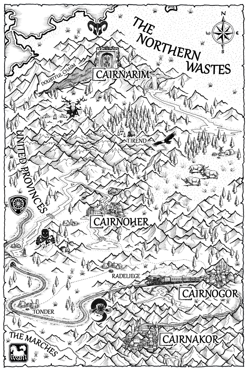
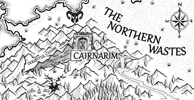
Given my complete lack of artistic skills, I turned to Howard Coates, the artist behind the maps in the Realm Rift Saga books, for his advice on how to hand draw a fantasy map.
“I choose to hand draw my maps because the looseness of real illustration gives it a more traditional feel which fits into the fantasy genre. I always had in mind that these are representative of the maps Katherine would have in the book. A digital image with perfect lines would not fit in the world created.
I use ink on card to create a textured feel. It may not come across in the final book, but it feels important for the visual aesthetic to be authentic.
Each area is drawn separately and I use Photoshop to put the elements together like a jigsaw. This means I can remove or rearrange the pieces to add a flow to the map and prevent it being cluttered.
Incidental elements (landmarks that don’t appear in the story itself) are a useful way to break up any empty area and make the world feel more real and lived in. But it’s important not to clutter a map. Representative graphics, rather than detailed illustration, can be used for events or places to avoid bogging a map down in detail.
I also like to include unlabelled landmarks for the reader to discover after the story’s over.”
If you don’t feel up to the task of drawing your fantasy map, you’ve got two options open to you: use some software tools to help you, or hire someone else.
I’ve used some of the following software tools in the past with varying success:
Medieval Fantasy City Generator
These tools are particularly useful for the D&D or wargame player who wants a map but doesn’t want to hire an artist to draw them (which would represent a particular dedication to the hobby!)
This is my option of choice; while software can offer a fantastic way to get a decent fantasy map into your book, nothing can beat the skills and artistic flair that an artist can bring to the table.
Start your search on DeviantArt, Pinterest and Instagram. Be sure to look for artists who are already drawing maps; although you might have luck approaching an artists who is drawing portraits or landscapes, odds are that they won’t be up for the challenge.
And if you spot a good-looking map in a fantasy novel, take a look at the copyright page; the artist’s copyright should be listed there, giving you a name to hunt for and approach for your commission.
Or you could just hire Howard Coates. He’s pretty good.
It’s daunting, I know. But don’t wait. Dive in. Make some mistakes, learn on the fly, and if you accidentally draw a mountain range with corners, a river that connects two oceans, or a border that makes no logical sense, don’t panic! Try to find a reason why your mistake isn’t a mistake after all, and you might find that you’ve accidentally created a brilliant new twist on your fantasy novel.

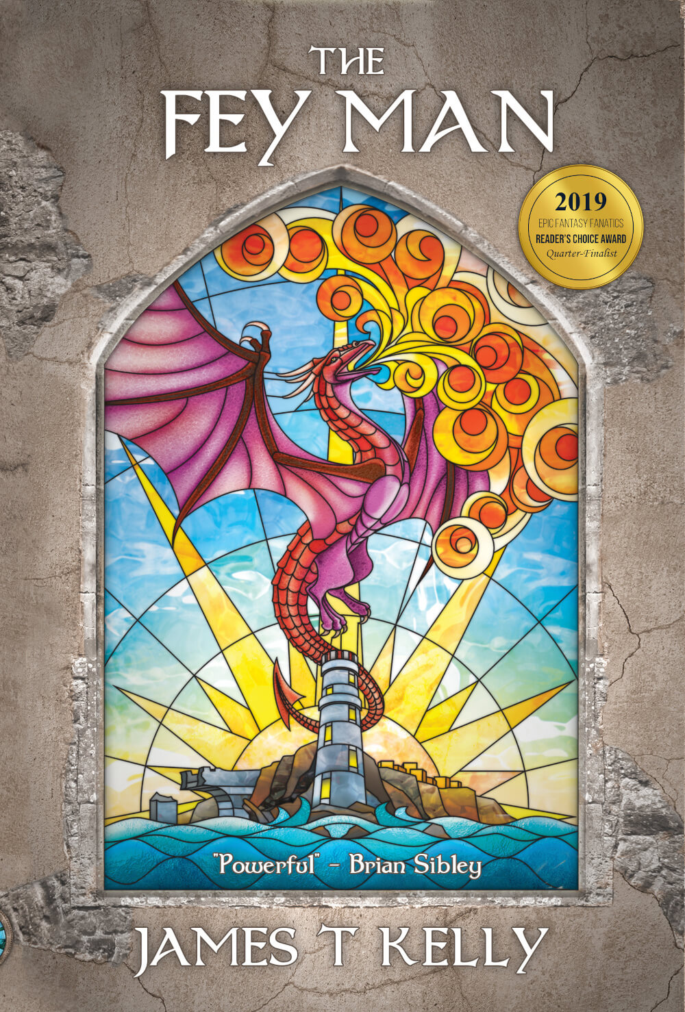
Armies march, dragons scorch the skies, and those who yet remain free hatch a desperate plan. They place their faith in the one man they shouldn’t: Thomas Rymour. He may be the prophet who cannot lie, but Tom only cares about finding the hidden realm of Faerie.
Elfs, dwarfs, Faerie creatures, dragons, magic, and quests. You’ll find it all in The Fey Man, the first book in the Realm Rift Saga.
Will Tom satisfy his compulsion? Can he break free and help save the world? Or do the creatures of Faerie have their own plans?
“The Fey Man immerses the reader in a compellingly conceived alternative realm created with a powerful sense of character and place.” – Brian Sibley, writer of The Lord of the Rings BBC Radio Drama

★★★★★ “This is one of the best epic fantasy books that I have read.”
★★★★ “As a study of a man in the throes of addiction, or maybe withdrawal…[Thomas Rymour] was particularly well drawn.”
★★★★★ “I smashed through this quickly as it's a real page turner and enjoyed it thoroughly. The setting is familiar enough that entering it is enjoyable and welcoming and at the same time novel enough that you care about the characters and the plot.”

